Online photo-sharing services, such as Flickr, support the use of geotagged data and provide direct links too Maps for locating the exact position where the photo was taken. This can be very useful. This data is usually embedded as EXIF data in a jpeg photo. Quote from Flickr:
What is EXIF data?
Almost all new digital cameras save JPEG
(jpg) files with EXIF (Exchangeable Image
File) data. Camera settings and scene
information are recorded by the camera into
the image file. Examples of stored
information are shutter speed, date and time,
focal length, exposure compensation,
metering pattern and if a flash was used.
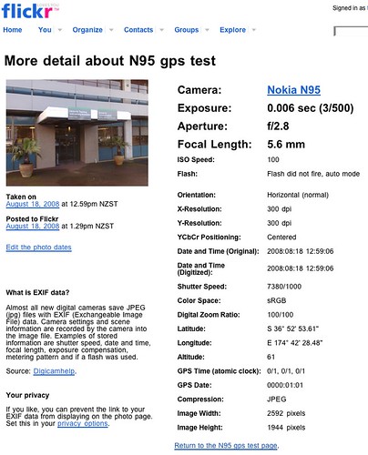
When a geotagged photo is uploaded to Flickr, a 'map' link option is presented, and clicking the "more details" link for an uploaded photo will reveal the EXIF data. e.g.
On the iPhone, an example GPS enabled geotagging application is "Mobile Photos" - an iPhone Flickr client that supports 'location' details for photos uploaded from the iPhone:
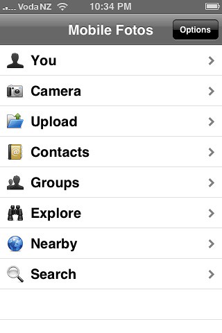
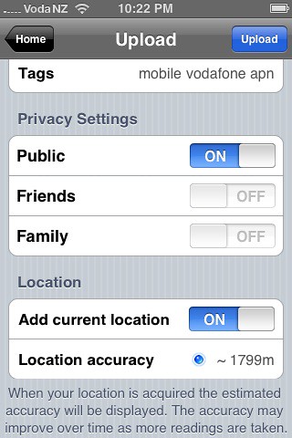
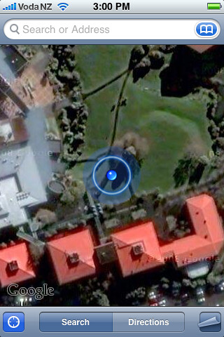
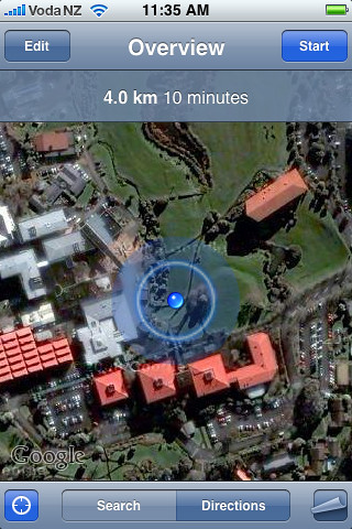
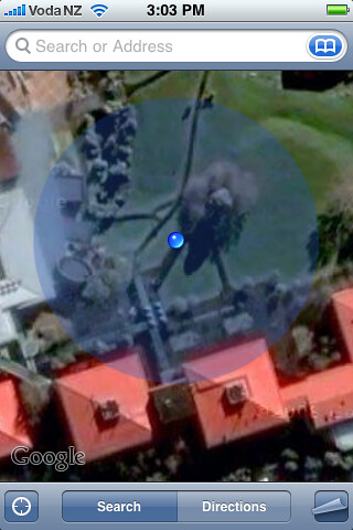
iPhone GPS screenshots:
Make sure the "Location Services" option is enabled in the iPhone's settings - as this turns on the GPS!
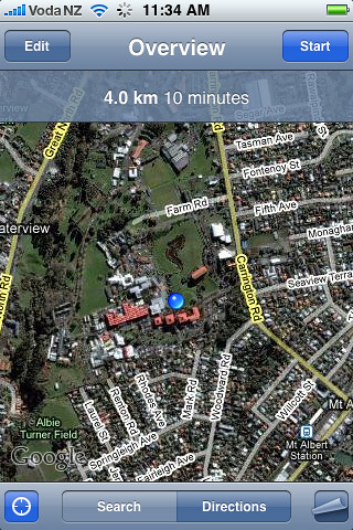
Nokia N95 GPS Geotagging:
On the N95, use the "GPS Data" application to first get a GPS satellite lock - this can take 10-15minutes the first time - and must be done with a clear view of the sky - either outside or on a windowsill!
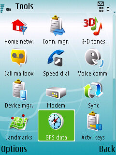
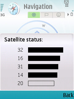
Start the "GPS Data" application, then select "Navigation", "options", "Show Satellite Status".
When satelite data is obtained, several dark coloured bars will be seen:
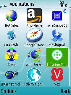
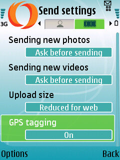
Now use either the "Location Tagger" or "Shozu" applications to add geotag info to your photos before uploading to Flickr.
Location Tagger:
Turning on Geotag option in Shozu Settings:
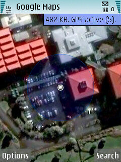
N95 GPS & Google Maps screenshot
N95 Geotagged Photo



No comments:
Post a Comment